SATELLITE CITY
Urban Planning / Urban Design
Melbourne, Australia
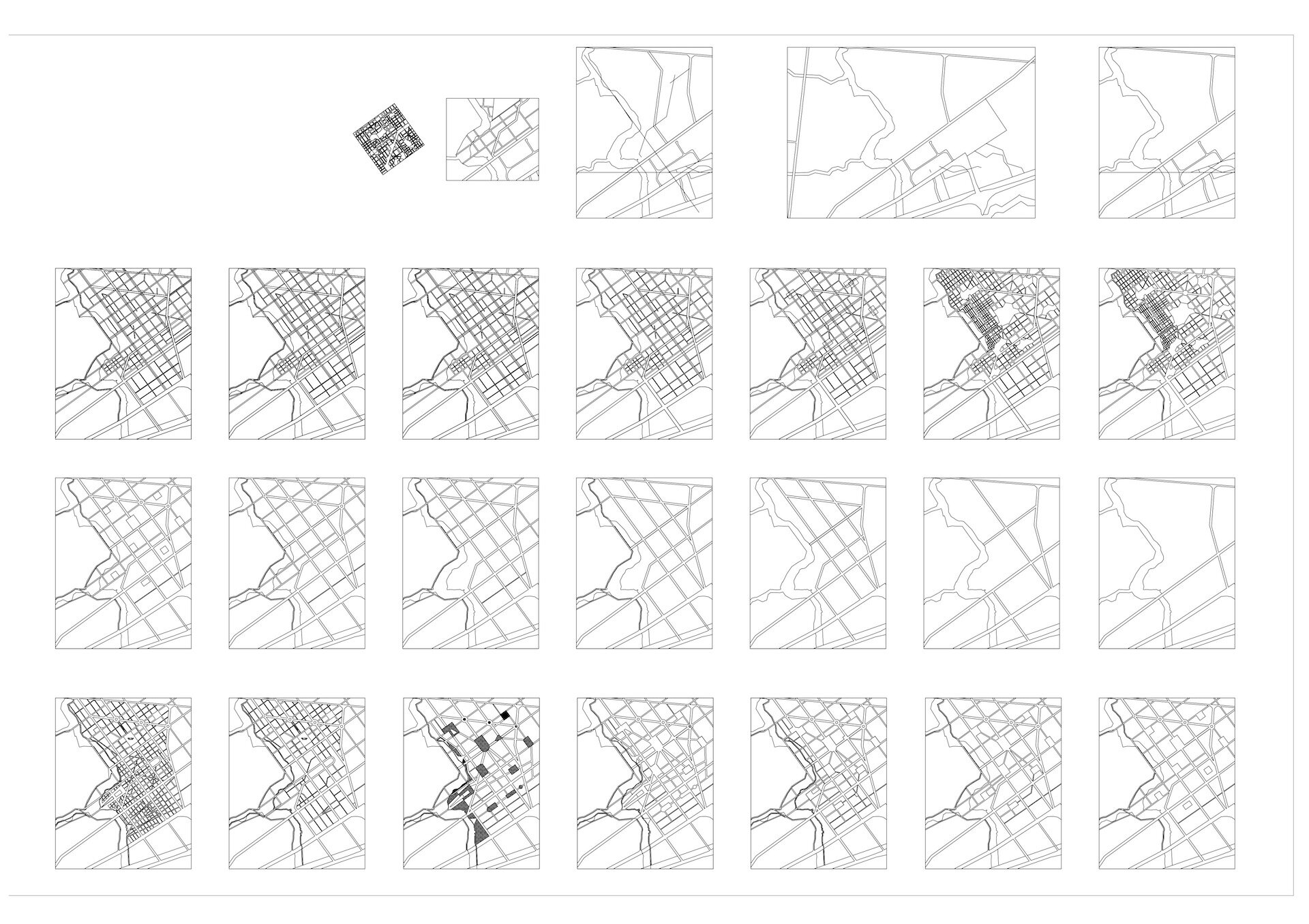
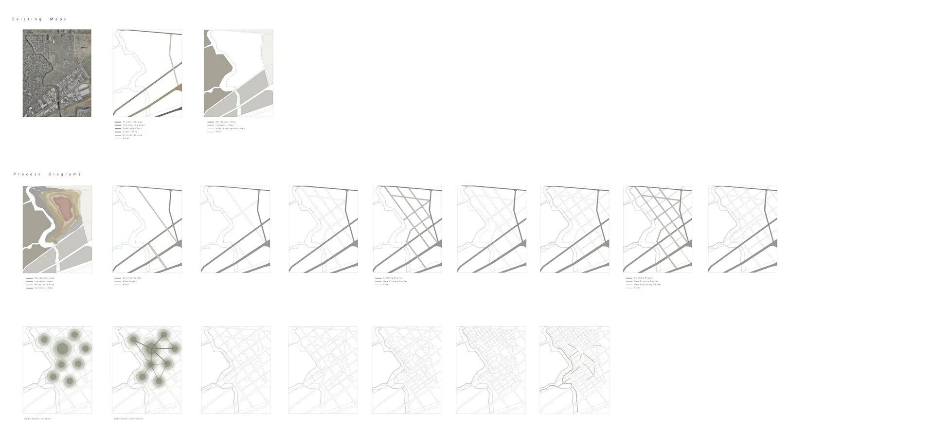
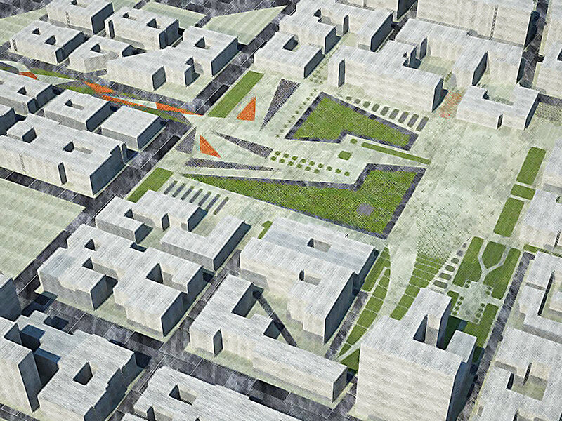
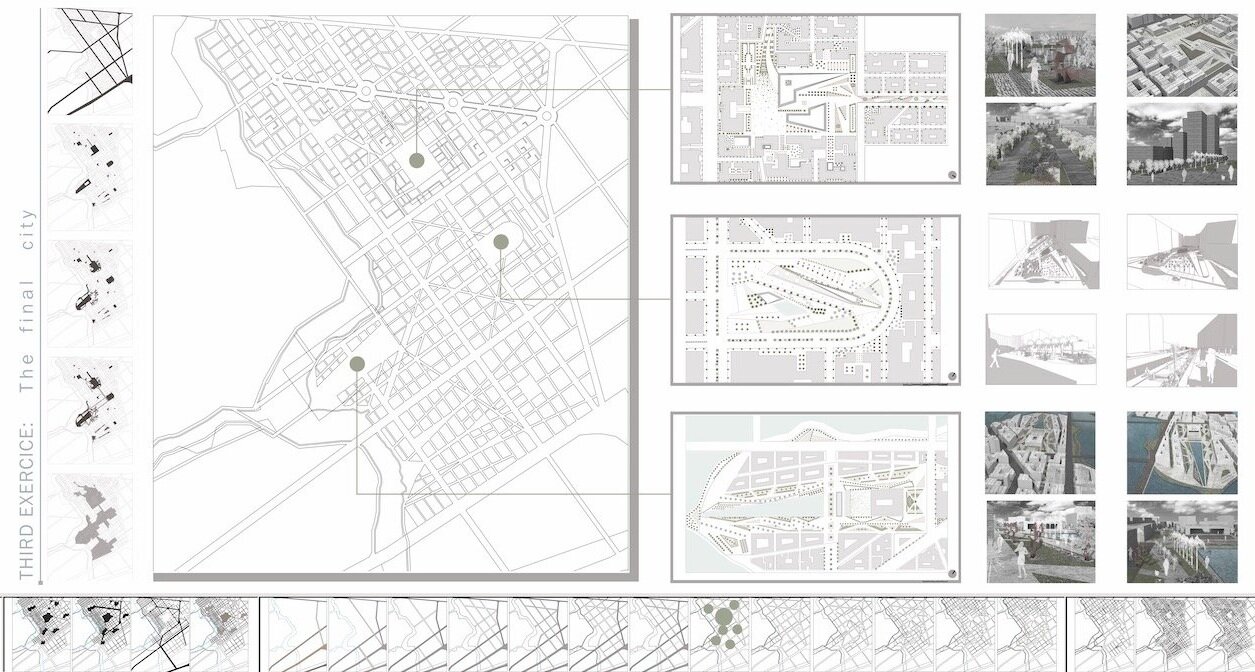
An exercise to understand the ‘shape’ of an abstract city built from the ground up with the purpose of developing different ways of looking at the urban environment. Emphasis placed on an exploration of spatial qualities and their relationships to the fabric of the city at various scales.
This exercise required the consideration of an organizational logic of the city in terms of overlapping networks through a series of layers of representation related to the experience of moving through the urban environment.
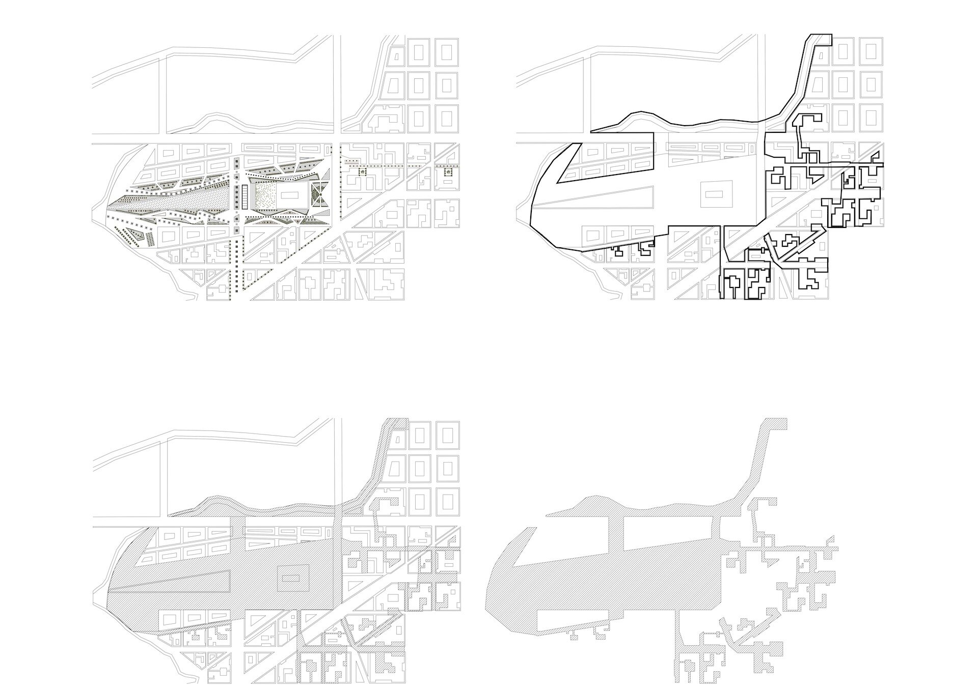
01. Public Realm
These are both the “designed” and “interstitial” spaces between the built form, but can also include spaces through the built forms.
02. Walking Cycling Routes
Study of a variety of potential walking experience through the city keeping in mind that 500m of walking straight across equates to approximately 5 mins of walking. Similarly, identify cycling routes or routes where cyclists share with pedestrians.
03.Road Network
Study of an idea of traffic volume and movement through the site.
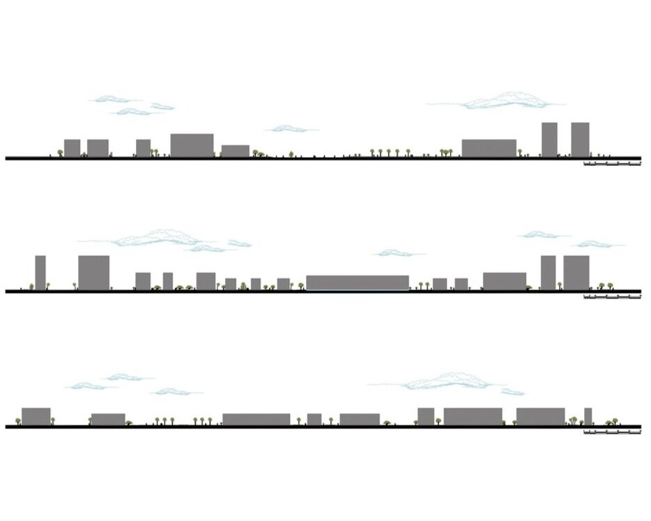
04. Built Edges
Study of an idea of how the public realm and movement systems might be further shaped by notional building forms. These edges could be solid or permeable, low or high, active or inactive. Considering what activities might be contained beyond the edge and what movement or activity might they generate.
